
Why Algasat?
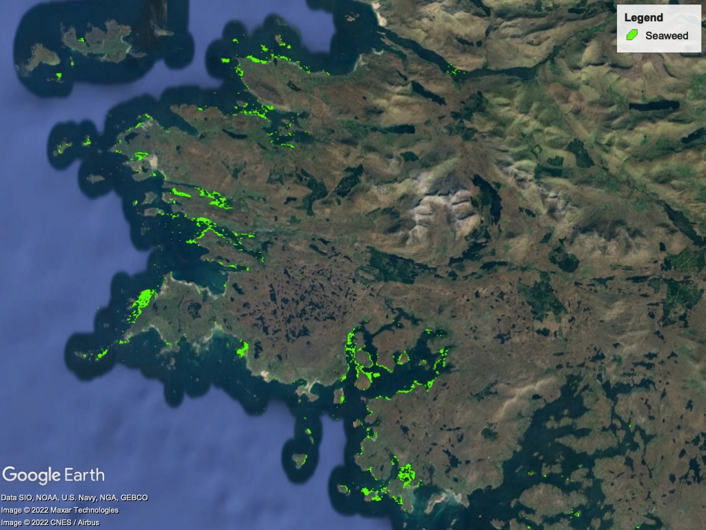
The use of satellite Earth Observation (EO) techniques have arisen as a powerful tool for the monitoring and classification of seaweeds. One of the clear benefits of EO is its low operating cost for users and periodical acquisition of images without the need of any operator. As we can see in the image to the left, satellite imagery is great for identifying seaweed deposits, but where it struggles is providing accurate biomass information. That's where Algasat proves to be invaluable, by simply providing satellite imagery, we can provide you biomass information with ease. Algasat is designed to be easy to use and understand, while minimising the friction for our users.
How It Works?


Upload the satellite imagery you want us to analyse.


We analyse the images and run our algorithms to get the seaweed biomass in the image.


We then generate a report and heatmap image for you to view the biomass in the image.