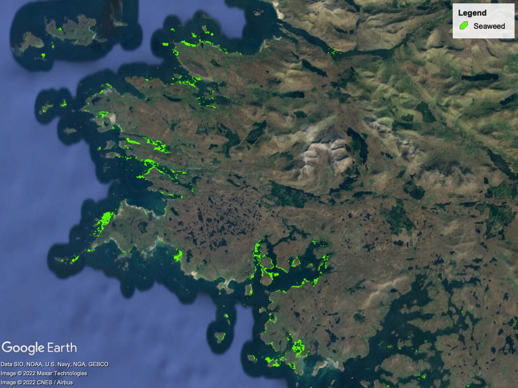
Algasat is a web application, through which authenticated users will interact with the analysis tools. Users will provide their own satellite imagery, which will be transformed by our ETL (Extract, transform, load) pipelines to a suitable format for input to our models and then processed by those machine learning models. The application will produce GeoTIFF images, displaying heat map representations of the seaweed biomass, as well as various reports providing for biomass data at various locations and at selected points in the images.
The use of satellite EO techniques have arisen as a powerful tool for the monitoring and classification of seaweeds. One of the clear benefits of EO is its minimal, or non-existent, operating cost for users and periodical acquisition of images without the need of any operator. The EO platform also offers ways in which the technology can be expanded to gather data automatically and model results without human input, which is one of the factors that makes EO more user-friendly for resource monitoring.
Algasat is developed by Fathom in cooperation with NUIG, ICHEC, Marine Institute and Enterprise Ireland.
