The Transdisciplinary Power of Earth Observation
The seaweed resource, mainly Ascophyllum nodosum, which is a commercially important species in Ireland, is being studied in the second phase of a Small Business Innovation Research (SBIR) project. The project is focussed around mapping or quantifying the biomass of seaweed using Earth Observation (EO) resources. Two types of EO datasets, optical and radar, are currently being used for the investigation.
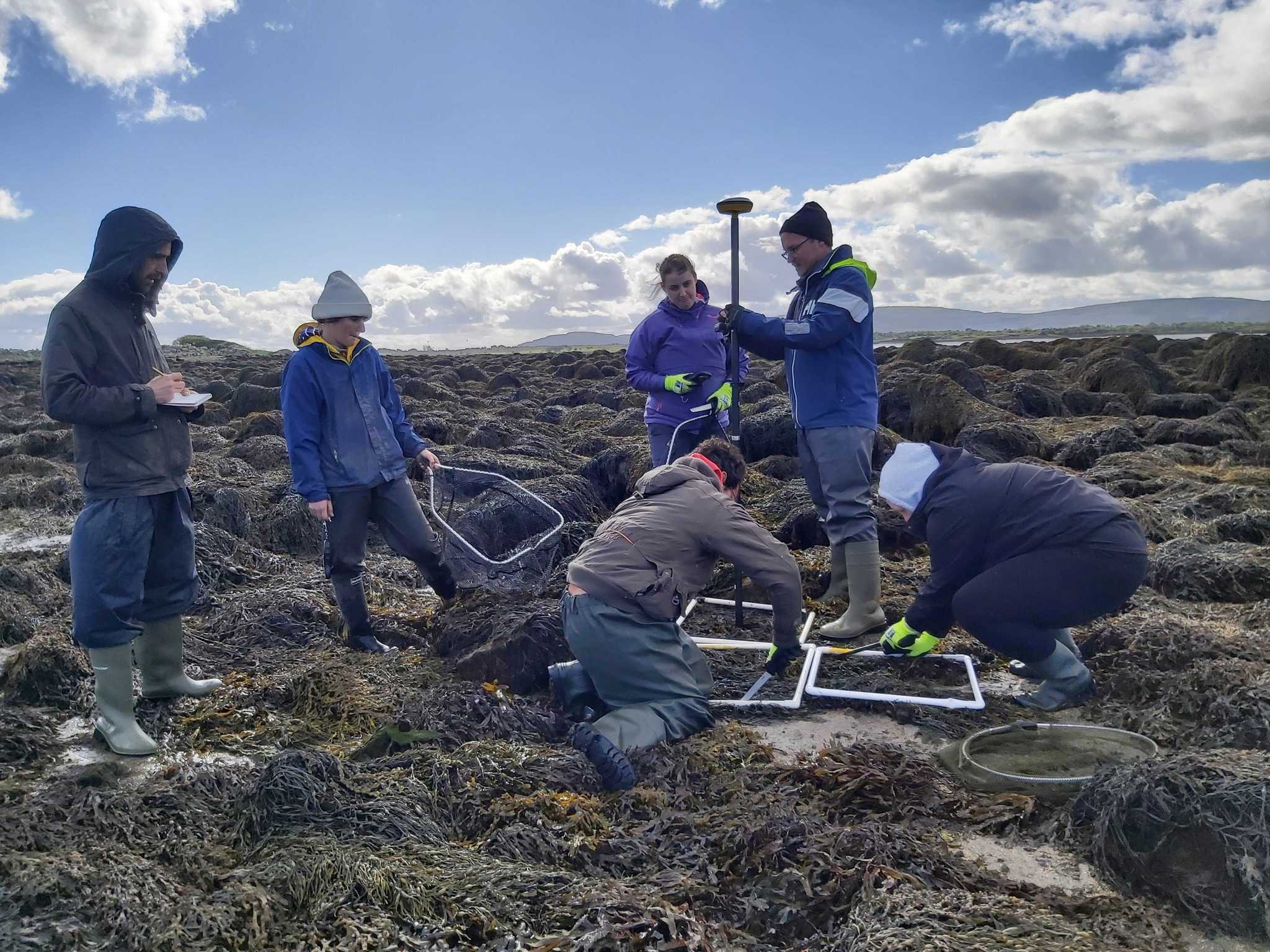
The Artificial Intelligence (AI) model was initially trained and validated using the data from previously harvested seaweed at sites in Kilkieran Bay and Roundstone, Dalway, respectively during the first phase of the project, in 2020. The project team is working on developing a platform where users will be able to provide optical (RGB) imagery of a site, and will be able to generate a biomass distribution map of that site. The images should be free of clouds, shadows and should have been acquired during the low-tide conditions. The main objective of the platform is to provide the distribution of the biomass, so that seaweed harvesters or researchers can determine the optimal harvesting time. This information will help harvesters manage their logistical and human resources by taking advantage of the advances being made in the field of space and computing. Considering the sites where seaweed is harvested, which are often difficult to access (slippery, rocky), these kinds of EO based distribution maps would be highly beneficial and economical.
Regionalization
Although the immediate goal of the project is to assist seaweed harvesters in assessing their resources, the technology can also be replicated for mapping seaweed resources at a regional scale. The mapping of seaweed at such a scale would be helpful for informing policy measures since it can provide the overall picture of carbon sink. The potential application of this technology for carbon sink mapping can provide insights regarding the significant role played by seaweed in sequestering carbon. In light of Ireland’s role in attaining carbon neutrality via a blue carbon-based economy, the current technology can inform the roadmap.
Transdisciplinary
The technology currently being developed focuses on commercially important seaweed species, but the methodology can be replicable for other disciplines. Other closely related fields such as agriculture and environmental monitoring (algal bloom, invasive species etc.) can also take advantage of this methodology as long as suitable training datasets are obtained and the variables can be mapped or detected using the EO data sets.
The EO datasets are extremely useful for mapping and monitoring environmental variables, and the availability of higher spatial resolution and frequent satellite overpass has fueled the application of EO in many fields. Other potential areas that can take advantage of this technology are soil moisture mapping and rangeland monitoring.
The recent progress made in the field of EO and the concept of Space 4.0 also promotes the idea of broadening the scope of EO from traditional research and development to the application and commercialization.
Challenges
Despite the huge benefit of EO and the application of AI for environmental monitoring, several challenges remain, mainly due to the weather and extremely cloudy conditions in Ireland. The consideration of commercial satellite vendors, in addition to freely available ones, can minimize the effect of such challenges, by providing a huge selection of images to choose from. The technology development also requires a robust background in data science and adequate ground-truthing in coordination with domain scientists.
